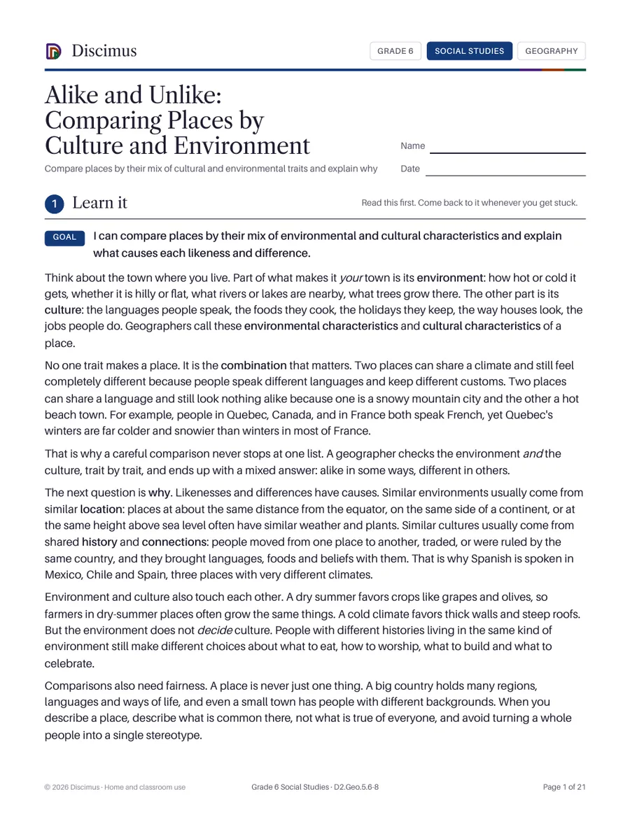
Alike and Unlike: Comparing Places by Culture and Environment
Compare places by their mix of cultural and environmental traits and explain why
A full lesson on using maps, satellite images and photographs to measure how a place's environment changed and to explain the change through its connections to other places. Includes a reading on the shrinking Aral Sea and a then-and-now image investigation.
For members. Join for $119.88 a year to download every Grade 6 worksheet.
Use maps, satellite images and other representations to explain how places are connected and how their environments change.
Compare places by their mix of cultural and environmental traits and explain why
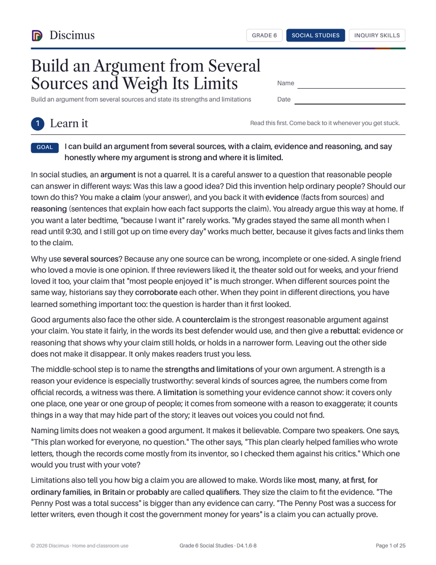
Build an argument from several sources and state its strengths and limitations
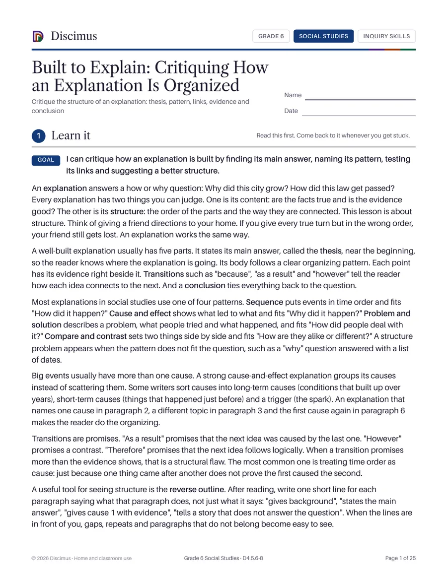
Critique the structure of an explanation: thesis, pattern, links, evidence and conclusion
Critique an argument's credibility by checking its source, evidence and reasoning